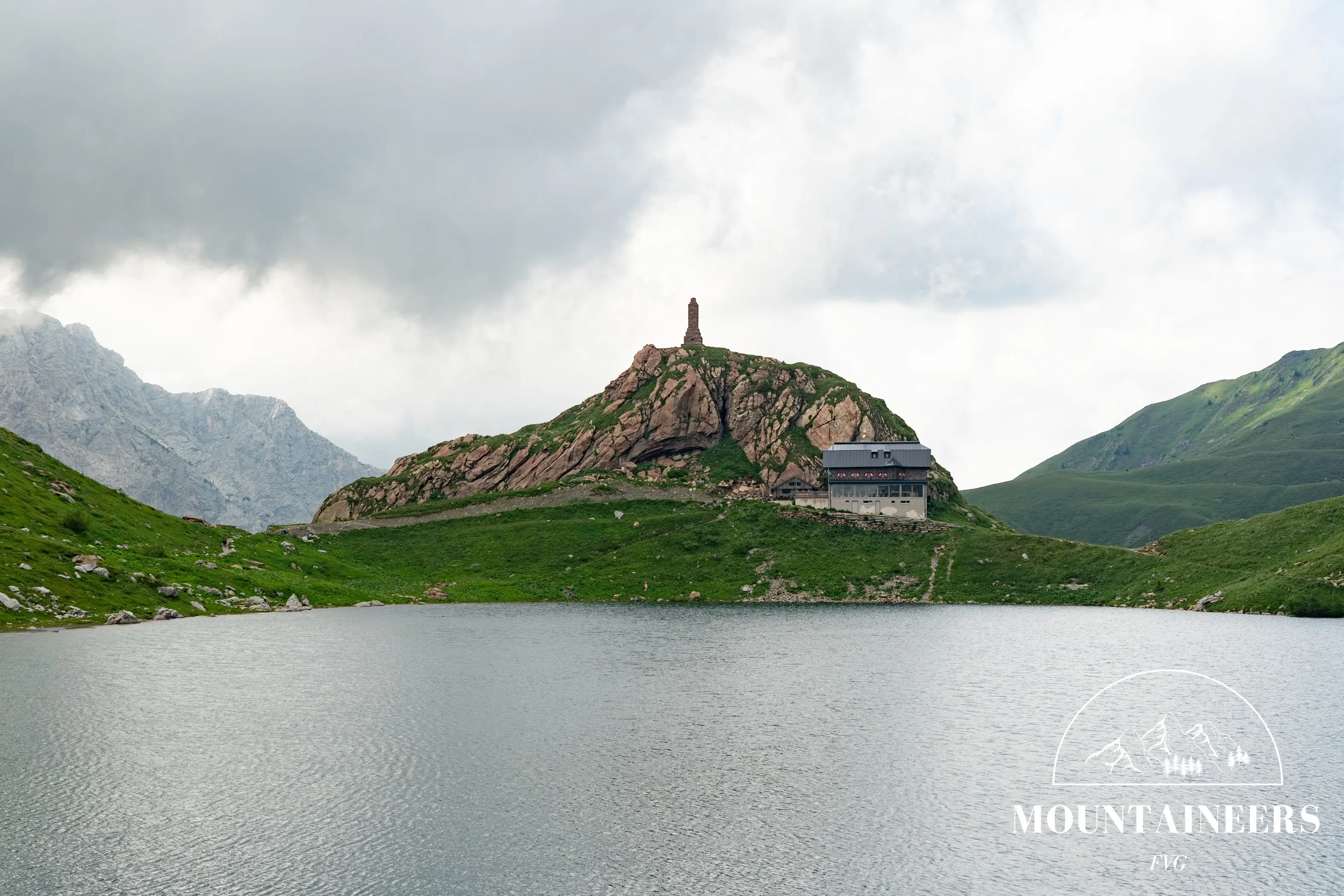
Lake Volaia is one of the highest lakes of the Carnic Alps, nestled between Mount Volaia and Mount Coglians at 1951 m a.s.l. The basin lies entirely in Austria, but the Italian border runs just a few dozen meters away, and the wild, untouched atmosphere makes it a must-see destination.
Coming from Comeglians along the SR355, you reach Forni Avoltri and turn right towards the hamlet of Collina. From here, continue until you reach Rifugio Tolazzi (1350 m), where you can leave your car. Take trail CAI 144 (also known as Sentiero dei Gramars), which initially follows a dirt road before branching off to the right. This trail first leads to Rifugio Lambertenghi (1955 m) and from there to the lake, with a total walking time of about 1 hour and 30 minutes. The walk around the lake takes 15–20 minutes and allows you to enjoy the spectacular scenery of Lake Volaia and its peaks from every angle. A stop at the Austrian Wolayerseehütte is also recommended, where you can taste a wide range of alpine specialties, from cold cuts and soups to spätzle and an excellent choice of desserts.
The easiest return follows the same trail back: Rifugio Tolazzi can be reached in about 1 hour and 15 minutes.
Advises
Luogo molto affollato nei weekend, recarsi sul posto nella prima mattinata per parcheggiare con più facilità.
References
Photo/video galleryDISCLAIMER: The information provided herein is based on the personal experience of the page editors, and as such should be taken with a grain of salt: it may not be up to date or accurate. The editors strongly recommend always checking the condition of the trails with the relevant authorities before setting out on a hike.