Rising to the north of Montasio, the Jof di Sompdogna offers a 360-degree panorama of the entire north-eastern basin, with highlights including Mount Lussari and the north face of Montasio.
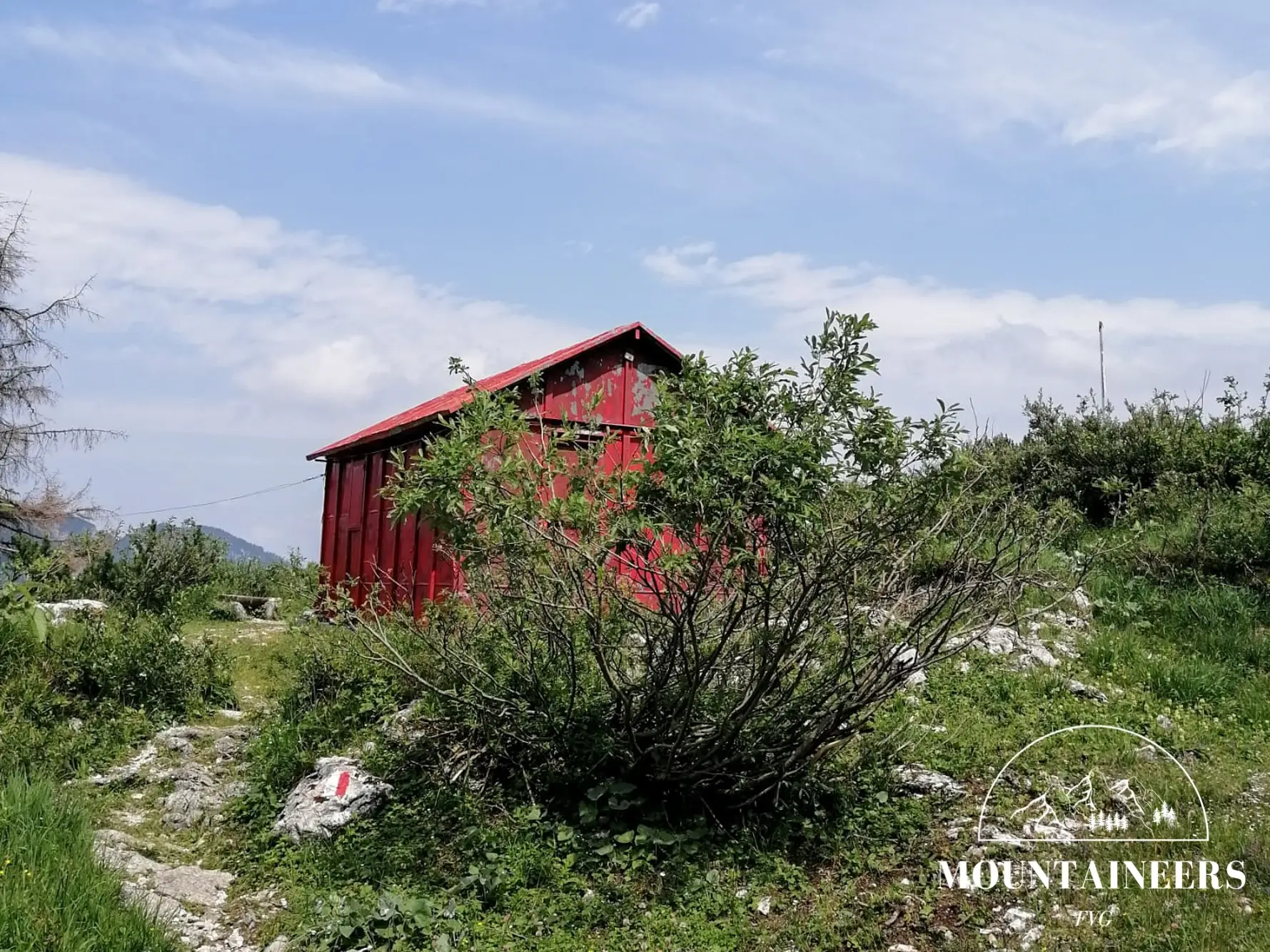
The itinerary begins at Sella Somdogna, which can be reached by leaving the SS13 at Dogna and following the road that runs through the entire valley of the same name. Once at the sella, there are two options: you can take the path on the right, which cuts the route and leads directly to the Sompdogna pond junction where CAI 610 and CAI 651 meet, or alternatively take the dirt road to the Grego refuge and from there follow the signs for the summit.
Near the Grego refuge, take trail CAI 651, which passes the ponds and in 15 minutes reaches a junction, where you keep left and continue on CAI 610. From here, the path climbs steadily, though with some stretches that allow for short breaks.
The ascent to the panoramic summit takes about 1 h 40 min, with remnants of wartime structures from the Great War visible just below the top.
For the descent, continue along CAI 610 and head down toward the north face of Montasio to reach the Stuparich bivouac. At the first junction, take the left onto trail CAI 652. After crossing a sizeable snowfield (about 40 m), you arrive at a second junction, from which keeping right leads to the Stuparich bivouac.
After a pause at the Stuparich refuge—remarkable for its position, overlooking the vast valley at its feet—return to the junction with trail CAI 611 (about 10 minutes) and turn right to head back to the Grego refuge and to the car.
Ad inizio stagione è possibile trovare neve sotto la parete del Montasio.
References
Photo/video galleryDISCLAIMER: The information provided herein is based on the personal experience of the page editors, and as such should be taken with a grain of salt: it may not be up to date or accurate. The editors strongly recommend always checking the condition of the trails with the relevant authorities before setting out on a hike.