Monte Dauda, located above Tolmezzo, is not a very well-known mountain, but it offers a stunning panorama over the Carnic Alps.
The suggested route does not present steep inclines or major difficulties. It is classified as D2 due to its length (16 km), which requires good physical preparation. It is also recommended to carry a sufficient water supply, as there are no water sources along the way to refill bottles. Another drawback of this route is the lack of CAI signage, so bringing a map or having the trail tracked on an app is essential.
The hike starts from Fielis, a small village above Tolmezzo, where you can park in the main square. Pay particular attention when driving up, as the road is narrow. From there, take Via Val.
Soon you will reach a crossroads: keep left and continue uphill. After several switchbacks and about 4 km, you’ll arrive at Malga Dauda (closed in winter). From here, take the path to the right of the malga. From this point onward, snow is often found in winter, so crampons are recommended.
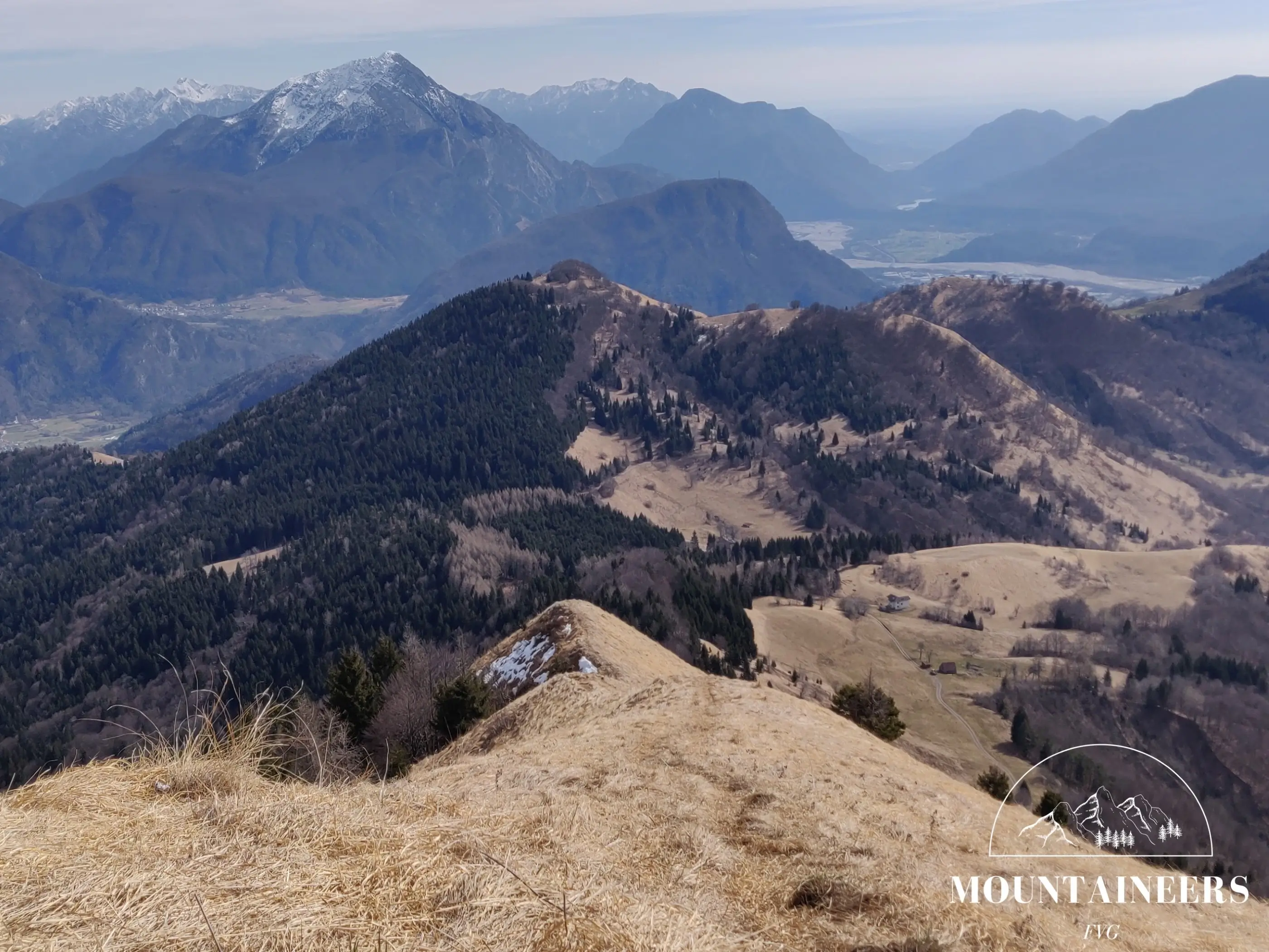
At Forcella Meleit, turn left and begin the ascent. A CAI signpost will point you in the right direction. In winter, be careful: snow may freeze, making the climb difficult and hiding the path. After about 45 minutes, keep left and continue climbing for another 10 minutes. At the summit, you can enjoy a 360° view of the Carnic Alps. A summit book is available near the cross.
For the descent, retrace the first section, then continue straight to reach Monte Cavolat. After the Cavolat, walk another 5 minutes, keep left, and continue descending. The path continues through the forest for about 2 km until you return to Malga Dauda. From there, follow the same road as on the way up.
References
Photo/video galleryDISCLAIMER: The information provided herein is based on the personal experience of the page editors, and as such should be taken with a grain of salt: it may not be up to date or accurate. The editors strongly recommend always checking the condition of the trails with the relevant authorities before setting out on a hike.